
COLUMBUS, OH (WOWO) A new artificial intelligence tool developed by researchers at Ohio State University could change how earthquake damage is assessed, offering faster and more detailed insights for emergency responders.
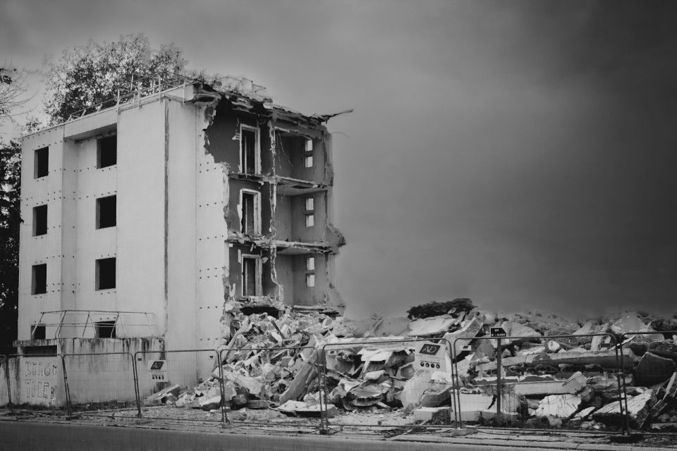
The system, called the LoRA-Enhanced Ground-view Generation model, uses aerial drone images to create highly realistic ground-level visuals of buildings and infrastructure. These images allow researchers to identify damage such as cracks, structural tilting, and partial collapses, even in densely populated areas.
According to findings published in the International Journal of Remote Sensing, the technology addresses a major gap in disaster response. While drones provide a top-down view, emergency crews typically rely on ground-level perspectives to make critical decisions. The AI model bridges that gap by generating realistic street-level imagery based on aerial data.
Researchers tested the system using data from the 2023 Kahramanmaras earthquake, a powerful disaster that destroyed or damaged hundreds of thousands of buildings. By analyzing both pre- and post-event imagery, the model was able to detect subtle structural issues and recreate realistic damage scenarios.
Experts say the tool could significantly reduce the time it takes to assess damage after a disaster, allowing first responders to prioritize rescue efforts more effectively. The technology may also help planners and engineers design stronger infrastructure in earthquake-prone regions.
Researchers caution that the system is still being refined, but they say it could eventually be used alongside other tools to improve disaster preparedness and response worldwide.