
The lead off
- Midweek heat and humidity expected to trigger First Alert Weather Days across northeast Indiana
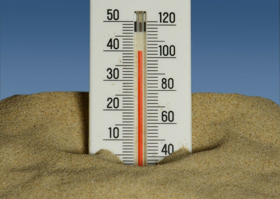
- Heat index values near 100° forecast for Wednesday and Thursday
- Storm chances continue through the week, with brief relief expected by Friday
INDIANAPOLIS, IND. (WOWO) A stretch of rising temperatures and increasing humidity is expected to bring heat index values near 100 degrees to northeast Indiana by midweek, prompting First Alert Weather Days for Wednesday and Thursday.
Forecast overview
Forecasters say conditions will steadily turn more humid through the beginning of the week, with a mix of clouds, rain chances, and rising heat building toward midweek. While Monday and Tuesday bring unsettled weather and moderate highs, the primary concern shifts to dangerous heat and humidity Wednesday and Thursday.
Monday conditions
Monday is expected to bring partly to mostly cloudy skies with isolated storms possible throughout the day. High temperatures are forecast near 88 degrees, though humidity will push the heat index to around 95 degrees.
Overnight Monday, showers become more likely after sunset with mostly cloudy skies continuing. Lows are expected near 69 degrees.
Tuesday weather pattern
Tuesday will feature scattered rain and storms under mostly cloudy skies. Temperatures are expected to be slightly cooler, with a high near 86 degrees.
Forecasters say Tuesday is expected to be the final day of relatively lower heat before a significant increase in heat and humidity midweek.
Midweek heat and First Alert Weather Days
Wednesday has been designated a First Alert Weather Day due to rising heat and humidity. High temperatures are expected near 90 degrees, but humidity will push heat index values close to 100 degrees. A few storms remain possible, though the primary concern is the oppressive heat.
Thursday will also be a First Alert Weather Day. Highs are forecast near 91 degrees with continued scattered storm chances. Heat index values are again expected to reach around 100 degrees, making it one of the most uncomfortable days of the week.
Looking ahead
Friday is expected to bring early morning rain that clears later in the day, followed by mostly sunny conditions and a high near 86 degrees.
Saturday is forecast to remain partly to mostly sunny with highs near 87 degrees, offering slightly more comfortable conditions.
Sunday brings partly cloudy skies with scattered rain possible and a cooler high near 83 degrees.
Heat safety guidance
Officials and forecasters note that heat-related illnesses can develop quickly during periods of high heat index values. Symptoms of heat exhaustion may include heavy sweating, weakness, dizziness, and nausea. Individuals experiencing symptoms are advised to move to a cooler location, hydrate, and seek medical attention if symptoms persist.
The takeaway
Midweek heat poses primary weather concern
Wednesday and Thursday are expected to bring the highest heat index values of the week, with readings near 100 degrees across northeast Indiana. These conditions are the main driver behind First Alert Weather Day declarations.
Storm chances continue throughout the week
While storms are possible Monday through Thursday, they are expected to be scattered and secondary to rising heat and humidity, with no single widespread storm system highlighted in the current forecast.
Late-week cooldown provides brief relief
Conditions are expected to improve by Friday, with rain clearing early and temperatures returning to the mid-80s through the weekend, offering a short break from the midweek heat and humidity.