
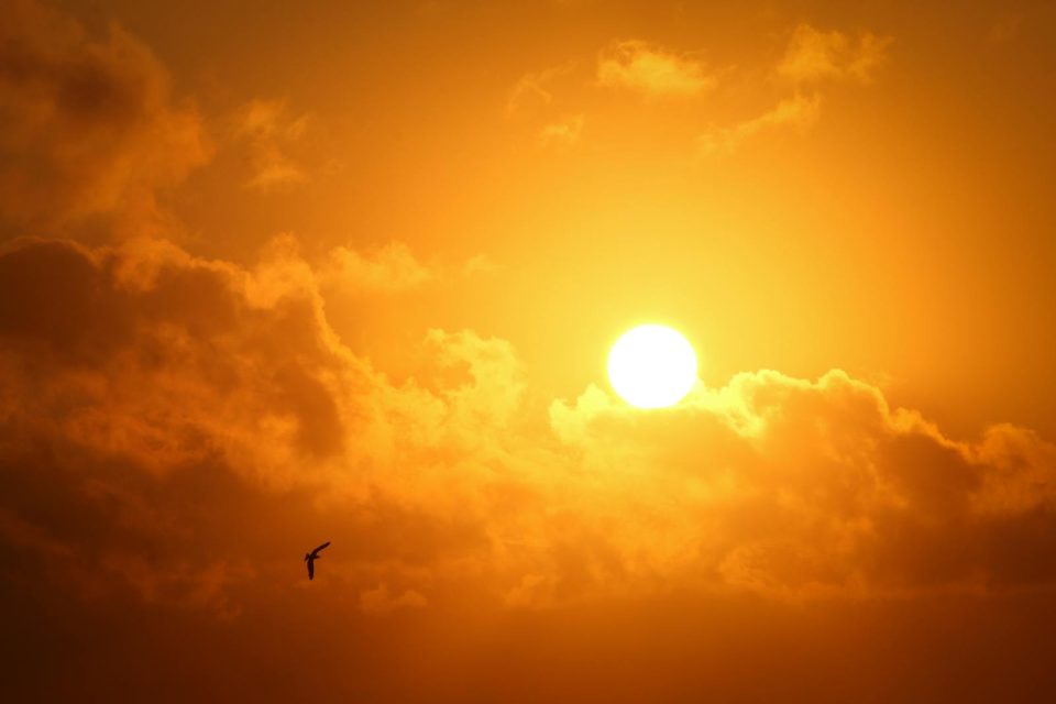
FORT WAYNE, Ind. (WOWO) — Indiana is entering a stretch of dangerous heat and humidity, with heat advisories in place and air quality declining.
Wednesday started off quiet and comfortable with morning temperatures in the upper 60s. But by the afternoon, highs near 90 degrees and rising humidity will make conditions feel much worse. Western parts of the state are under a Heat Advisory, and poor air quality has triggered a Knozone Action Day.
Thursday is expected to be the hottest and most humid day of the week. Temperatures will climb into the mid-90s, and dew points in the upper 70s will push the heat index above 105 degrees in many areas. A Heat Advisory will cover most of Indiana, and overnight lows in the mid-70s will offer little relief.
Storm chances remain low until late Thursday, with scattered showers and storms more likely Friday and Saturday. The added clouds and rain could help bring down temperatures slightly over the weekend, but the humidity will stick around.
Relief from the high heat and humidity is possible late this weekend into next week, as the edge of the heat dome shifts and scattered storms continue.