


FORT WAYNE, Ind. (WOWO) — Northeast Indiana is facing a threat for severe thunderstorms Wednesday afternoon and evening, with the National Weather Service warning that storms could bring damaging winds, large hail and an isolated tornado.
The National Weather Service’s Northern Indiana office says a Level 2 out of 5 Slight Risk for severe weather remains in place across much of the region. The greatest threat is expected between 3 and 10 p.m. Wednesday.
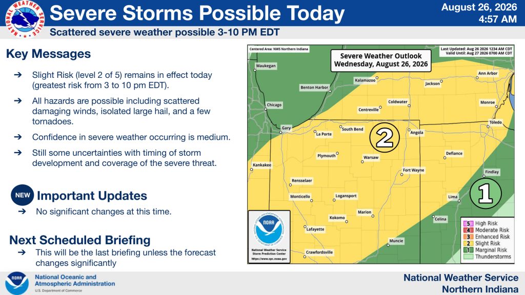
Forecasters say scattered storms could begin developing as early as the afternoon, with the strongest storms potentially producing wind gusts up to 60 miles per hour and hail around one inch in diameter. An isolated tornado is also possible, although forecasters have lower confidence in the tornado threat.
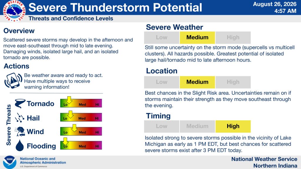
The weather service says storms could develop near Lake Michigan as early as 1 p.m., but the best chance for scattered severe storms comes after 3 p.m. Storms are expected to move east-southeast through the evening.
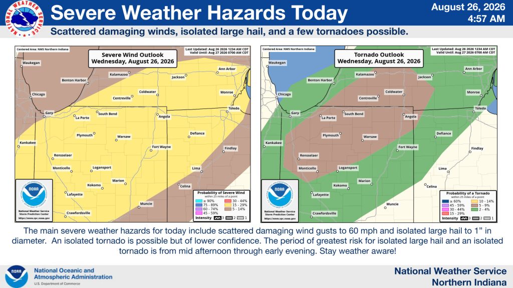
Forecasters acknowledge some uncertainty about exactly how storms will develop and how widespread the severe threat will be. They also aren’t certain whether storms will maintain their strength as they move southeast.
Residents are encouraged to stay weather aware Wednesday afternoon and evening and have multiple ways to receive weather warnings.
The good news is that quieter weather is expected to return Thursday and continue through Sunday. The National Weather Service says the rest of the week should be dry and mostly sunny, with highs generally in the low to mid-80s.
