
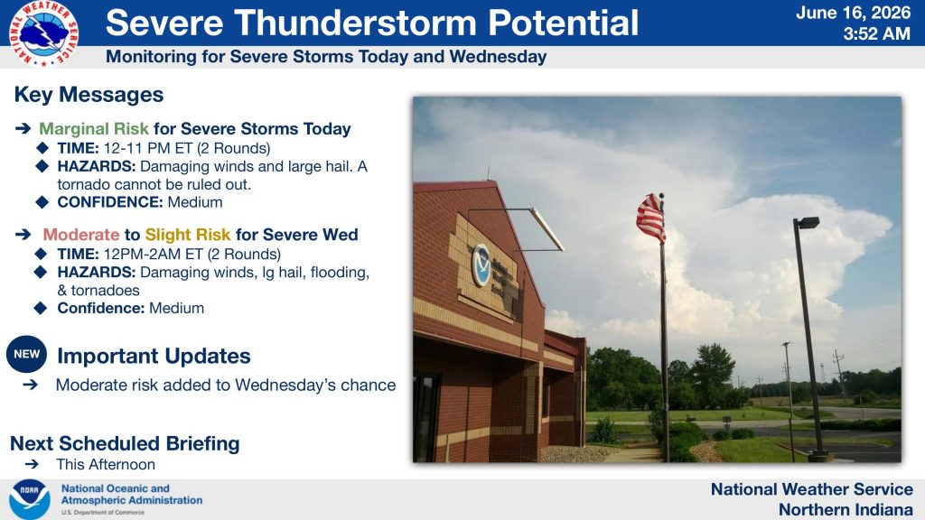
FORT WAYNE, Ind. (WOWO): The National Weather Service is warning Northeast Indiana residents to prepare for multiple rounds of potentially severe thunderstorms through Wednesday night, with forecasters now placing portions of the region under a Moderate Risk (Level 4 of 5) for severe weather Wednesday.
Storms Possible Today
Forecasters say two rounds of thunderstorms are expected Tuesday, with the first developing between noon and 6 p.m. and another possible between 5 p.m. and 11 p.m. The primary threats include damaging wind gusts up to 60 mph, hail up to one inch in diameter, and heavy rainfall. While the tornado threat remains low, the National Weather Service says a tornado cannot be ruled out.
Weather officials describe Tuesday’s severe threat as a Marginal Risk (Level 1 of 5) across most of northern Indiana. Confidence remains medium due to uncertainty regarding storm development and track.
Wednesday Presents Greater Concern
The more significant severe weather threat arrives Wednesday.
The National Weather Service says two additional rounds of storms are possible Wednesday afternoon and Wednesday night, with the greatest concern occurring between 5 p.m. and 2 a.m. Thursday. Forecasters have increased the risk level across portions of northern Indiana, including areas west of Interstate 69 and south of U.S. 30.
Hazards include:
- Damaging winds in excess of 70 mph
- Large hail
- Flash flooding
- Tornadoes, including the potential for strong tornadoes
According to the Weather Service, significant severe wind damage is possible throughout the entire forecast area, while the greatest tornado risk appears focused west of I-69 and south of U.S. 30.
Suggested Graphic: NWS Page 3 – “Wednesday’s Severe Weather Risk”
Suggested Graphic: NWS Page 4 – “Wednesday Severe Weather Chances”
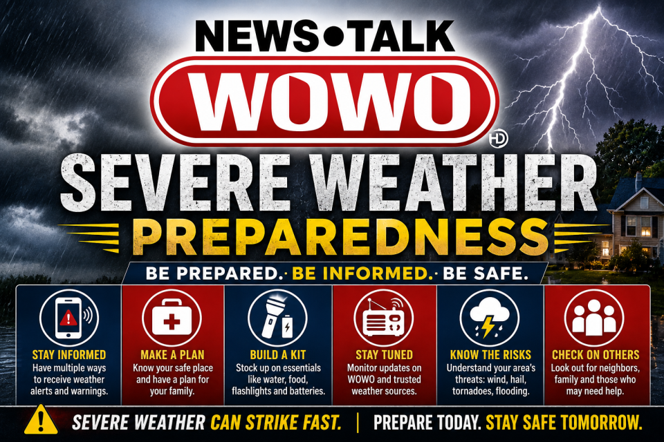
Be Prepared Before Storms Arrive
With several rounds of storms expected after sunset, weather officials are urging residents to have multiple ways to receive warnings, including weather apps, local media, NOAA Weather Radio, and emergency alerts on mobile devices.
The National Weather Service says residents should review severe weather safety plans now and be prepared to seek shelter immediately if warnings are issued.
Suggested Graphic: NWS Page 6 – “Moderate Risk”
WOWO will continue to monitor the forecast and provide updates as conditions change.