

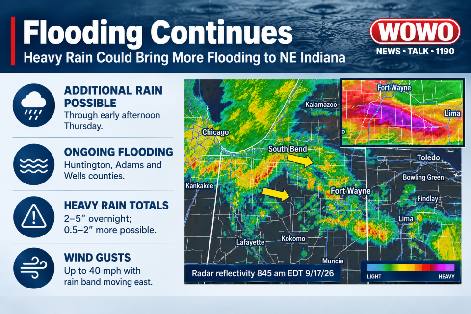
FORT WAYNE, Ind. (WOWO) — The threat of flooding continues Thursday across parts of northeast Indiana after several rounds of heavy rain over the past two days.
The National Weather Service Northern Indiana office said additional heavy rain is possible from late morning into early afternoon, which could prolong ongoing flooding and bring renewed flash flooding.
As of Thursday morning, Huntington, Adams and Wells counties were seeing ongoing flooding, according to the National Weather Service. A Flash Flood Warning was also in effect for those counties and southwestern Van Wert County, Ohio, through 2:15 p.m.
The National Weather Service said radar estimates showed 2 to 5 inches of rain had fallen overnight in the warned area, with another 0.5 to 2 inches possible through the morning. Several reports of flooded roads and water rescues had been received.
A separate National Weather Service graphic issued Thursday morning said radar estimates indicated 5 to 8 inches of rain had fallen over the past two days in portions of the region.
Elsewhere, a band of heavy rain was expected to move east-southeast across northern Indiana. The National Weather Service said the band could produce another 1 to 2 inches of rain, along with wind gusts of up to 40 mph.
A Flood Watch remains in effect through 2 p.m. Thursday for portions of northern Indiana and northwest Ohio, including Allen, Whitley, Miami, Wabash and Huntington counties in Indiana and Van Wert and Allen counties in Ohio. The weather service said 1 to 5 inches of rain had already fallen across the watch area, with another 1 to 2 inches possible.
The Wabash River was also experiencing flooding. The National Weather Service said minor flooding was occurring near Bluffton, with the river expected to crest Thursday evening before falling below flood stage Sunday evening.
Drivers are reminded to turn around and avoid flooded roads. The National Weather Service says most flood deaths occur in vehicles.
