

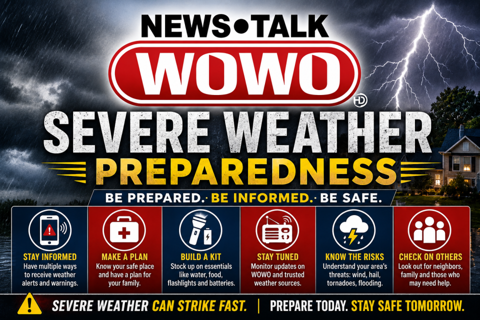
FORT WAYNE, Ind. (WOWO) — Residents across Northeast Indiana and Northwest Ohio should prepare for the potential of strong to severe thunderstorms Monday afternoon and evening, with the National Weather Service placing the entire region under an Enhanced Risk (Level 3 of 5) for severe weather.
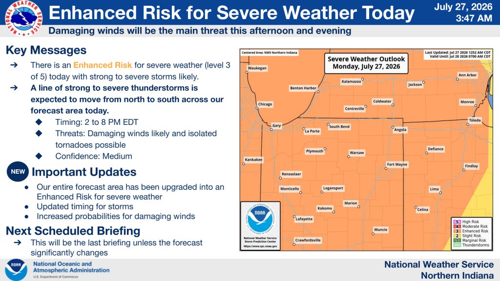 Forecasters say a line of thunderstorms is expected to develop and move from north to south between 2 p.m. and 8 p.m. EDT, bringing the greatest threat of damaging straight-line winds.
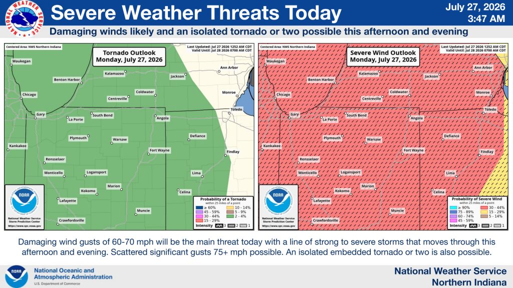
The National Weather Service says wind gusts of 60 to 70 mph are likely, with scattered gusts exceeding 75 mph possible in the strongest storms. An isolated tornado or two cannot be ruled out, though damaging winds remain the primary concern.
The severe weather outlook covers the entire National Weather Service Northern Indiana forecast area, including:
- Allen
- Adams
- DeKalb
- Huntington
- Kosciusko
- LaGrange
- Noble
- Steuben
- Wells
- Whitley
- Wabash counties in Indiana
as well as much of Northwest Ohio and southern Lower Michigan.
According to the latest briefing, confidence is high that severe thunderstorms will develop, while confidence in the exact track and placement of the strongest storms remains medium. Forecasters say the greatest window for severe weather is 2 p.m. to 8 p.m., although additional scattered storms may linger later Monday evening with a lower severe threat.
Primary Threats
- Damaging wind gusts: 60–70 mph likely, isolated gusts over 75 mph possible
- Tornadoes: An isolated tornado or two is possible
- Large hail: Lower threat
- Flooding: Low threat, though localized heavy rainfall is possible
What You Should Do
The National Weather Service urges residents to:
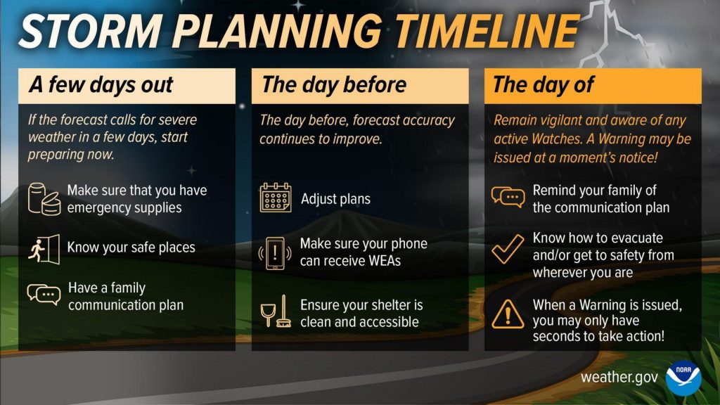
- Stay weather aware throughout the afternoon and evening.
- Have multiple ways to receive warnings, including NOAA Weather Radio, the WOWO app, Wireless Emergency Alerts, and trusted local media.
- Review your severe weather safety plan before storms arrive.
- Be prepared to move to an interior room on the lowest floor of a sturdy building if a tornado warning is issued.
 With many people expected to be traveling, working outdoors, or attending summer activities, conditions could change rapidly once storms begin developing. Stay with WOWO News for the latest watches, warnings, radar updates, and live severe weather coverage throughout the day.
