

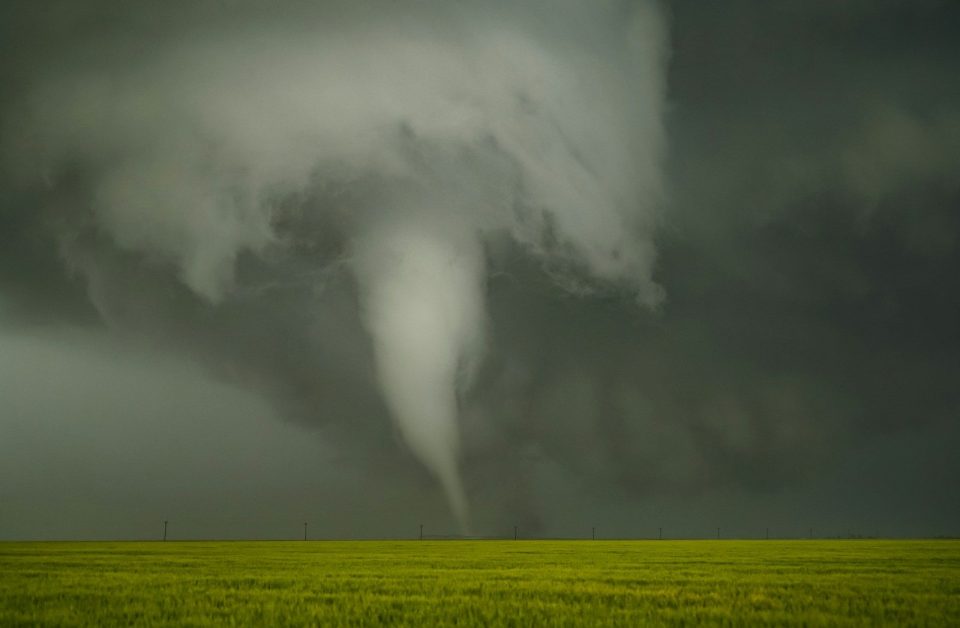
FORT WAYNE, Ind. (WOWO): The National Weather Service has confirmed at least 13 tornadoes across northern Indiana following a series of severe weather events that occurred between June 12 and June 15.
According to an update released Monday night, meteorologists have completed numerous storm damage surveys and continue reviewing photos, videos, and additional damage reports before finalizing all tornado tracks and ratings.
As of 10:28 p.m. EDT on June 15, the National Weather Service confirmed the following tornadoes:
- Two tornadoes in Marshall County near Argos and Plymouth.
- One tornado in Marshall and Kosciusko counties from approximately three miles northeast of Bourbon to five miles west-southwest of Hastings.
- One tornado in LaGrange and Steuben counties from near Timberhurst to Angola.
- Three tornadoes in Huntington County near Andrews, Warren, and Huntington.
- Two tornadoes in Cass County near Adamsboro and near Georgetown/Lake Cicott.
- One tornado in Wabash County near Wabash.
- One tornado in Elkhart County near Bristol.
- One tornado in Jay County near Balbec.
- One tornado in La Porte County near Wanatah.
The National Weather Service also noted that survey teams from the Chicago office confirmed EF-3 tornado damage in Kouts, Indiana, located in Porter County. The tornado continued into La Porte County but weakened as it moved east. Officials say a complete survey report, including updated ratings and track information for the tornado’s path into La Porte County, will be released jointly by the Northern Indiana and Chicago weather offices.
Meteorologists say tornado tracks will be added to the National Weather Service’s online event map once surveys are finalized. Additional tornadoes could still be identified as damage assessments continue.
The Enhanced Fujita Scale classifies tornadoes based on estimated wind speeds and resulting damage. Ratings range from EF-0 (65-85 mph winds) to EF-5 (more than 200 mph winds).
The National Weather Service thanked residents for their patience as survey teams continue documenting damage and reviewing reports from across the region. NOAA encourages members of the public to submit photos, videos, and storm reports to assist meteorologists in completing their investigations.
WOWO News will continue to provide updates as additional survey results and tornado ratings are released.
