
INDIANAPOLIS, Ind. (WOWO) — A strong storm system is set to bring high winds and severe weather to Indiana on Wednesday. A Wind Advisory will be in effect from 8 a.m. Wednesday to 1 a.m. Thursday, with gusts over 40 mph throughout the day.
Scattered thunderstorms are expected early Wednesday morning, mainly north of Interstate 70. Some storms could bring frequent lightning and small hail, potentially impacting the morning commute. Areas south of I-70 may stay dry during this period.
By midday, storm activity is expected to decrease, and temperatures will climb near 80 degrees. Strong south-southwest winds will continue to increase ahead of an approaching cold front, setting up unstable conditions.
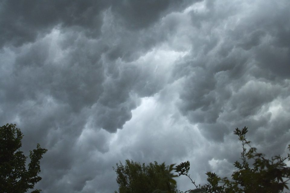
Severe storms are expected to develop by late afternoon and continue into the night, moving in from the west. The highest risk for severe weather will be between 8 p.m. and midnight, with damaging winds, large hail, and the possibility of tornadoes.
Rain will continue through Thursday, with additional storms expected later in the week. Heavy rainfall from Friday night through Sunday morning could lead to flooding concerns. Residents are advised to stay updated and have multiple ways to receive weather alerts.